Words for Water by Tracey Benson

01Benson_heart

Words for water is an exploration into the many aspects of the chemical of H20. Water makes up over 70 per cent of the human body, it is essential for sustaining life and has massive social and cultural significance.

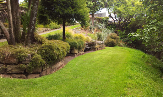
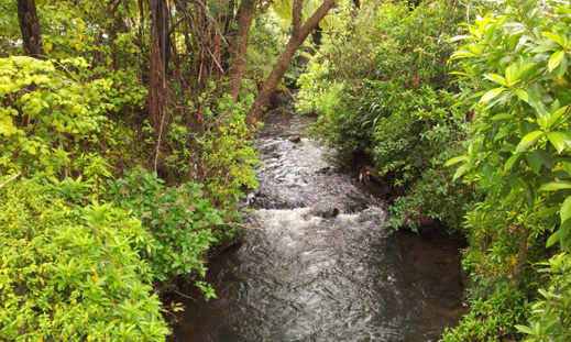
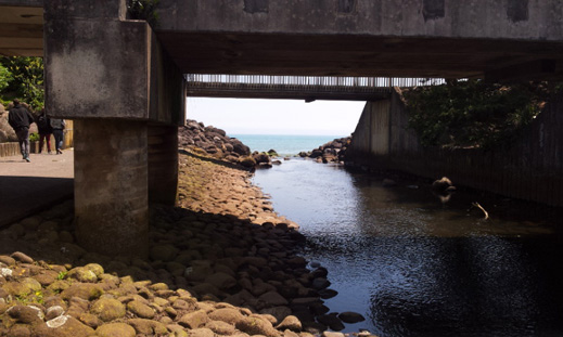
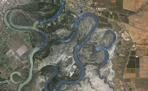
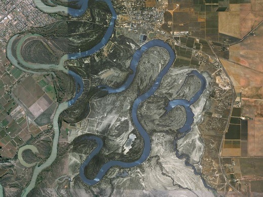
Water may seem ubiquitous, but it has some rather uncommon properties. At the atomic level, water can influence how life and landscapes form, such as how water moves through a plant and how rivers meander around bends. It is also the only chemical that be formed in three states – vapour, liquid and solid.

My focus will be on expanding an ongoing project that uses augmented media tools to evoke a meditative work focusing on the concept water. Stage 1 of “Words for Water” was presented at the MARart exhibition held as part of ISMAR2013 (The International Symposium on Mixed and Augmented Reality).

By using a visual ‘trigger’ audiences are able to use their mobile phones and hand held devices to access the work. The work is designed to be totally transportable and ‘fluid’, allowing people to access the work from both physical and virtual spaces.

The process for developing the content has involved using online social networks to gather the word for water in many languages. To date I have gathered over thirty languages, including eight Indigenous Australian languages. This project seeks to raise awareness of the significance of water to humanity – its critical importance to our existence: spirituality, culture, health and ecological sustainability.

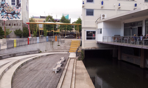
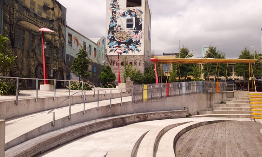
At the SCANZ residency, the goal is to build on the collaborative aspect of this project by engaging other residents and participants to add their stories about water.

The intention is to also exhibit the existing video piece as a projection and as an augmented media work in the exhibition/screening.

This project is seen as an evolving dialogue about the importance of water to all humanity and our need to acknowledge water as integral to life and spirit.


Useful links

http://bytetime.4ormat.com/
http://geokult.com/2013/10/07/auras-for-words-for-water/
http://geokult.com/2013/09/22/words-for-water-stage-1-ismar2013-and-marart/
http://geokult.com/2013/10/07/words-for-water-stage-1-some-documentation/
http://youtu.be/Dd0SqODdIOU


This description comes from the proposal for SCANZ 2015:water*peace


huatoki-walkway3

Huatoki walkway: history unveiled

It is interesting that following a river cuts across the urban city landscape and the corresponding histories of place. Nature and heritage are often obscured when the experience of place is  dominated by being in buildings, and walking, taking a bus or driving the streets. To follow a river is to connect them all.

This is across the street from the car parks and the entrance to the Huatoki walkway proper

This is across the street from the car parks and the entrance to the Huatoki walkway proper

This is the under pass to which the sign is adjacent

This is the under pass to which the sign is adjacent


The track is quite wide at points, with the banks off to the left. Once again looking upstream

The track is quite wide at points, with the banks off to the left. Once again looking upstream


This looks like a collection of boulders, but once was a large marker rock used by local iwi (tribes). It was dynamited in the colonial era

This looks like a collection of boulders, but once was a large marker rock used by local iwi (tribes). It was dynamited in the colonial era


On the opposite bank of the river are the footings of an old water powered flour mill

On the opposite bank of the river are the footings of an old water powered flour mill


Another pile of boulders, another dynamited marker rock

Another pile of boulders, another dynamited marker rock


The area of the stream bank around the second rock

The area of the stream bank around the second rock


Looking back downstream toward the area of the second rock

Looking back downstream toward the area of the second rock


Grinding stones from the several mills that once were located here

Grinding stones from the several mills that once were located here


The view looking upward toward the end of the town centre part of the walkway. If needed further sites are located beyond

The view looking upward toward the end of the town centre part of the walkway. If needed further sites are located beyond


Signpost marking the end of this passage of the walkway

Signpost marking the end of this passage of the walkway


Start again
Previous


huatoki-walkway2

Journey of a river/stream walkway: the Huatoki

The Huatoki runs under the main street of New Plymouth, then emerges in a mix of rustic walkway with hybrid plants and trees.

This small park is the continuation of the walkway, heading upstream

This small park is the continuation of the walkway, heading upstream


Looking downstream, back toward the main street of New Plymouth. The two trees on the left are marked historic by the Council and must be preserved.

Looking downstream, back toward the main street of New Plymouth. The two trees on the left are marked historic by the Council and must be preserved.


This small area above the banks of the previous photo could be a site for a work or perhaps one of the stop points on the walking symposium

This small area above the banks of the previous photo could be a site for a work or perhaps one of the stop points on the walking symposium


This photo is taken from a small bridge - too small for art works, but there is a car park next to it. The banks are quite steep though. This car park has a market on the weekends

This photo is taken from a small bridge – too small for art works, but there is a car park next to it (next photo). The banks are quite steep though. This car park has a market on the weekends


The car park on the left bank looking down stream. There is a car park on the right as well

The car park on the left bank looking down stream. There is a car park on the right as well


Next
Previous


huatoki-walkway1

Huatoki River walkway – SCANZ 2015:water*peace art work sites

This next set of photos connects from the landing outside Puke Ariki, across the road to the Huatoki Plaza.

On the bridge looking up stream, with the 30-60cm drop creating rapids.

On the bridge looking up stream, with the 30-60cm drop creating rapids.


Looking into the Plaza, beyond the pedestrian walk bridge

Looking into the Plaza, beyond the pedestrian walk bridge


The lower part of the Plaza forms a natural amphitheater. At this point the Huatoki disappears under one and a half blocks of buildings

The lower part of the Plaza forms a natural amphitheater. At this point the Huatoki disappears under one and a half blocks of building


To the left of the amphitheater, showing some of the building murals by local artists

To the left of the amphitheater, showing some of the building murals by local artists


Next
Previous


Huatoki Walkway

The Huatoki walkway and Plaza are reserved for SCANZ 2015:water*peace events. We are particularly pleased the New Plymouth District Council has supported our project in this way, as it means we will be able to locate creative works along the Huatoki walkway, for temporary exhibition on Sunday February 2nd 2015.

The Huatoki River is a site of many stories, dating from pre-European times to industrial usages, through to the current walkway/recreational purpose. A range of site types can be offered to successful artists.

Stretching from the heart of New Plymouth city, this gently graded walk follows the path of the Huatoki River. From its river mouth (at the Wind Wand on the Coastal Walkway) to its head above the Huatoki Domain, this beautiful track winds its way behind city office blocks and residential housing, through developed parkland and scenic native bush.

Access points include Hempton Street, Harris Street, Carrington Street, Maratahu Street, Frankley Road, Glenpark Avenue, Sycamore Grove, Parsons Street, Marian Grove, Camden Street, Brois Street, Budleigh Street and Woodleigh Street.

(1)

(2)

1
2
1

This is where the Huatoki meets the sea. This view is looking downstream. The walkway crosses above

This is where the Huatoki meets the sea. This view is looking downstream. The walkway crosses above

This is where the Huatoki meets the sea. This view is looking downstream. The walkway crosses above

2

27