This category contains posts about the location of SCANZ events

SCANZ 2015 water and peace map

Clicking on the photograph below will take you to a map and folder of images of the Huatoki stream walkway from the sea to Redcoat Lane. This is the path of the locations of SCANZ2015 water*peace artworks, presentations and installations.

The map shows the locations for art works, performances and activities that occur on the final weekend of SCANZ2015 – Saturday 31st of January in Huatoki Plaza (11am – 4pm), and Sunday 1st of February (11am – 4pm) along the Huatoki from the sea to Redcoat Lane. There are also night time projections in Pukekura Park on Friday 30th of January, 9pm to 11pm.

SCANZ2015 sites

Below are the photographs in a slideshow.

Huatoki Walkway announced as site for SCANZ water*peace art works

Huatoki walkway announced as site for SCANZ water*peace art works

The Huatoki walkway and Plaza are now reserved for SCANZ 2015:water*peace events. We are particularly pleased the New Plymouth District Council has supported our project in this way, as it means we will be able to locate creative works along the Huatoki walkway, for temporary exhibition on Sunday February 2nd 2015.

The Huatoki River is site of many stories, dating from pre-European times to industrial usages, through to the current walkway/recreational purpose. A range of site types can be offered to successful artists.

This is where the Huatoki meets the sea. This view is looking downstream. The The walkway crosses above

This is where the Huatoki meets the sea. This view is looking downstream. The walkway crosses above

This image captures a little better, the atmosphere of the area with the road going over the top

This image captures a little better, the atmosphere of the area with the road going over the top

Looking upstream from the previous photo. This part of the Huatoki runs in front of Puke Ariki museum and Library

Looking upstream from the previous photo. This part of the Huatoki runs in front of Puke Ariki museum and Library

A slightly better view of the lower part of the landing area, which is landscaped back up to the right, until Puke Ariki Museumis reached

A slightly better view of the lower part of the landing area, which is landscaped back up to the right, until Puke Ariki Museum is reached

Looking upstream from the landing, the Huatoki again passes under a road. Beyond the pipe and through the other side you can see where the stream drops 30-60cm (1-2 feet)

Looking upstream from the landing, the Huatoki again passes under a road. Beyond the pipe and through the other side you can see where the stream drops 30-60cm (1-2 feet)

Next
Start at the other end


Parihaka

“Parihaka, depicted in this painting by George Clarendon Beale (1856–1939), was New Zealand’s largest Maori community by 1881. Its prophets attracted followers from around the country.” Source:http://www.nzhistory.net.nz/media/photo/parihaka-painting, (Ministry for Culture and Heritage). CC-BY-NC

SCANZ 2015:water*peace to begin at Parihaka

water*peace is set to commence at the settlement of Parihaka, on the 18th of January 2015. The 18th and 19th of each month are set aside by the Taranaki community, to celebrate their prophets of peace, Te Whiti o Rongomai and Tohu Kakahi.

SCANZ participants will join the community of Parihaka in this celebration. It will be noho marae, meaning the stay will be overnight. Kaumatua (elder) of Parihaka Ruakere Hond, has asked that the participants collectively present their thoughts and feelings on peace to the community on the Saturday night, a great honour.

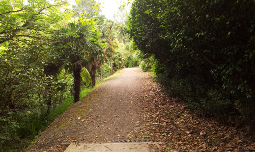
Previously at SCANZ 2013, participants visited on both days. The noho marae presents a deepening of association. Some of the Aotearoa participants have iwi (tribe), hapu (sub-tribe) or whanau (family) links and are hoping to work with members of the community on projects.

The Parihaka story

It is the 5th of November 1881. “The Europeans are expecting a bloody battle. In the build-up to the invasion, some of the men have been sitting around the campfires boasting about who is going to shoot the first Maori.

On the other side, the 2000 people of Parihaka have been expecting the troops. In preparation, the women have baked 500 loaves of bread to share with their visitors.”

The events at Parihaka that fateful year, are a significant part of the history of Aotearoa New Zealand. The response of Maori under the guidance and leadership of Te Whiti o Rongomai and Tohu Kakahi has been inspirational to peace movements led by people such as Mahatma Ghandi and Martin Luther King Jr. The episode is also defining for local iwi (tribes), and is significant to many New Zealanders.

The words quoted above are from a piece of insightful writing by Virginia Winder from her article for Puke Ariki’s website. Thanks to Jo Tito for forwarding the link to Virginia’s article.

Links

The Parihaka story
Parihaka painting from the Ministry of Culture and Heritage site
Te Whiti and Tohu on Te Ara, the encyclopedia of New Zealand pages on Maori prophets
Waitangi Tribunal report (includes Maori perspective of events)


Artists at Parihaka

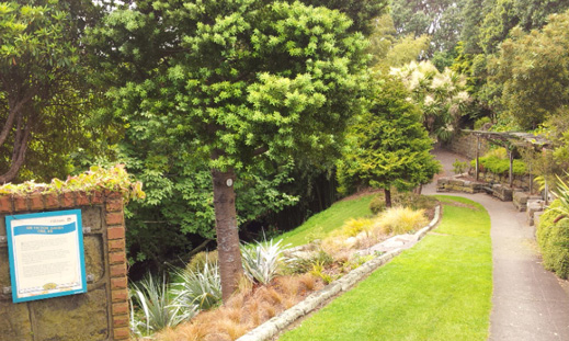
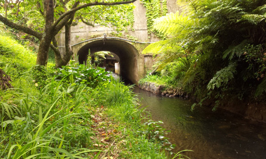
SCANZ 2013:3rd nature residency artists and Parihaka hosts outside Te Raanui, a whare kai (house for eating). The visit to Parihaka set the 2013 residency off to an excellent beginning. In 2015, we will stay overnight.

huatoki-walkway3

Huatoki walkway: history unveiled

It is interesting that following a river cuts across the urban city landscape and the corresponding histories of place. Nature and heritage are often obscured when the experience of place is  dominated by being in buildings, and walking, taking a bus or driving the streets. To follow a river is to connect them all.

This is across the street from the car parks and the entrance to the Huatoki walkway proper

This is across the street from the car parks and the entrance to the Huatoki walkway proper

This is the under pass to which the sign is adjacent

This is the under pass to which the sign is adjacent


The track is quite wide at points, with the banks off to the left. Once again looking upstream

The track is quite wide at points, with the banks off to the left. Once again looking upstream


This looks like a collection of boulders, but once was a large marker rock used by local iwi (tribes). It was dynamited in the colonial era

This looks like a collection of boulders, but once was a large marker rock used by local iwi (tribes). It was dynamited in the colonial era


On the opposite bank of the river are the footings of an old water powered flour mill

On the opposite bank of the river are the footings of an old water powered flour mill


Another pile of boulders, another dynamited marker rock

Another pile of boulders, another dynamited marker rock


The area of the stream bank around the second rock

The area of the stream bank around the second rock


Looking back downstream toward the area of the second rock

Looking back downstream toward the area of the second rock


Grinding stones from the several mills that once were located here

Grinding stones from the several mills that once were located here


The view looking upward toward the end of the town centre part of the walkway. If needed further sites are located beyond

The view looking upward toward the end of the town centre part of the walkway. If needed further sites are located beyond


Signpost marking the end of this passage of the walkway

Signpost marking the end of this passage of the walkway


Start again
Previous


huatoki-walkway2

Journey of a river/stream walkway: the Huatoki

The Huatoki runs under the main street of New Plymouth, then emerges in a mix of rustic walkway with hybrid plants and trees.

This small park is the continuation of the walkway, heading upstream

This small park is the continuation of the walkway, heading upstream


Looking downstream, back toward the main street of New Plymouth. The two trees on the left are marked historic by the Council and must be preserved.

Looking downstream, back toward the main street of New Plymouth. The two trees on the left are marked historic by the Council and must be preserved.


This small area above the banks of the previous photo could be a site for a work or perhaps one of the stop points on the walking symposium

This small area above the banks of the previous photo could be a site for a work or perhaps one of the stop points on the walking symposium


This photo is taken from a small bridge - too small for art works, but there is a car park next to it. The banks are quite steep though. This car park has a market on the weekends

This photo is taken from a small bridge – too small for art works, but there is a car park next to it (next photo). The banks are quite steep though. This car park has a market on the weekends


The car park on the left bank looking down stream. There is a car park on the right as well

The car park on the left bank looking down stream. There is a car park on the right as well


Next
Previous


huatoki-walkway1

Huatoki River walkway – SCANZ 2015:water*peace art work sites

This next set of photos connects from the landing outside Puke Ariki, across the road to the Huatoki Plaza.

On the bridge looking up stream, with the 30-60cm drop creating rapids.

On the bridge looking up stream, with the 30-60cm drop creating rapids.


Looking into the Plaza, beyond the pedestrian walk bridge

Looking into the Plaza, beyond the pedestrian walk bridge


The lower part of the Plaza forms a natural amphitheater. At this point the Huatoki disappears under one and a half blocks of buildings

The lower part of the Plaza forms a natural amphitheater. At this point the Huatoki disappears under one and a half blocks of building


To the left of the amphitheater, showing some of the building murals by local artists

To the left of the amphitheater, showing some of the building murals by local artists


Next
Previous


Huatoki Walkway

The Huatoki walkway and Plaza are reserved for SCANZ 2015:water*peace events. We are particularly pleased the New Plymouth District Council has supported our project in this way, as it means we will be able to locate creative works along the Huatoki walkway, for temporary exhibition on Sunday February 2nd 2015.

The Huatoki River is a site of many stories, dating from pre-European times to industrial usages, through to the current walkway/recreational purpose. A range of site types can be offered to successful artists.

Stretching from the heart of New Plymouth city, this gently graded walk follows the path of the Huatoki River. From its river mouth (at the Wind Wand on the Coastal Walkway) to its head above the Huatoki Domain, this beautiful track winds its way behind city office blocks and residential housing, through developed parkland and scenic native bush.

Access points include Hempton Street, Harris Street, Carrington Street, Maratahu Street, Frankley Road, Glenpark Avenue, Sycamore Grove, Parsons Street, Marian Grove, Camden Street, Brois Street, Budleigh Street and Woodleigh Street.

(1)

(2)

1
2
1

This is where the Huatoki meets the sea. This view is looking downstream. The walkway crosses above

This is where the Huatoki meets the sea. This view is looking downstream. The walkway crosses above

This is where the Huatoki meets the sea. This view is looking downstream. The walkway crosses above

2

27